
Universal Plastic on the GlobalCoast map: when local observations join a global conversation
Universal Plastic · 2026
Recording a piece of waste on a particular stretch of coast can seem like a small gesture. Connected to an international coastal observation network, that same record helps us better understand what is happening in the ocean and what those who manage it need to know.
Universal Plastic appears on the updated map of GlobalCoast, the pilot site network of CoastPredict, with the reference PS-018b-06: the Central Asturian Coast. It is a starting point: a chance to explain why plastic pollution needs systematic observation and data that can be compared across places.
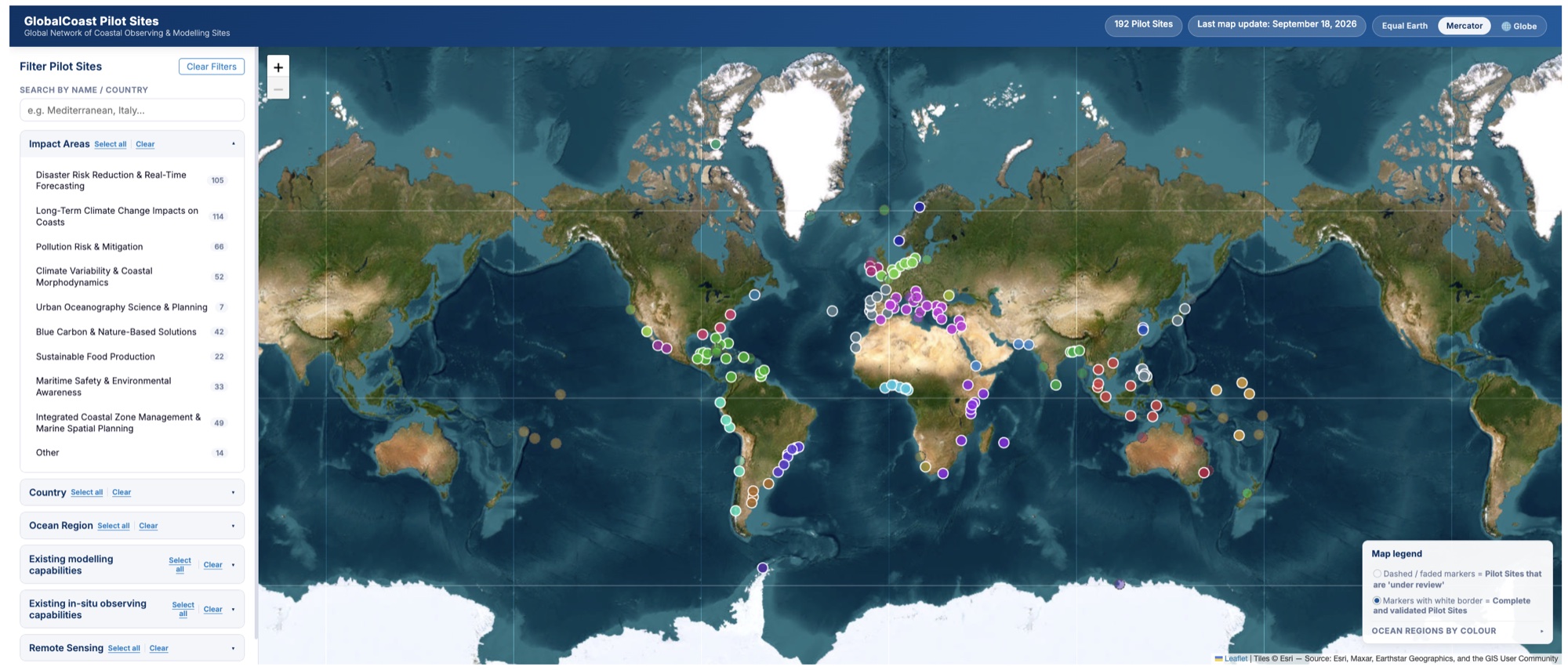
GlobalCoast map showing 192 Pilot Sites (last update: 18 September 2026). Source: CoastPredict
What is GlobalCoast?
CoastPredict is a programme endorsed by the United Nations Decade of Ocean Science for Sustainable Development and linked to the Global Ocean Observing System (GOOS) of UNESCO’s Intergovernmental Oceanographic Commission. Its mission is to improve our ability to observe and predict what happens in coastal waters.
GlobalCoast is its implementation framework: a network of pilot sites in different countries where approaches to observation, prediction, risk management and coastal resilience are developed and shared. The aim is not to apply the same model everywhere, but for methods to work and be adapted to each local context.
The network was launched in 2023 and keeps growing: the CoastPredict website listed more than 210 pilot sites in the version we consulted in November 2026. According to those running it, the goal is for solutions to be shared and replicated across regions.

Methodology, localization and generalization: how GlobalCoast connects its pilot sites. Source: GlobalCoast Explainer.
Our pilot site: the Central Asturian Coast
Universal Plastic’s proposal, submitted in March 2026, covers the central coastline of Asturias along the Cantabrian Sea, with urban, industrial and semi-natural stretches such as Gijón and neighbouring municipalities. It is a high-energy Atlantic coast with cliffs, sandy beaches and estuaries that support fisheries and biodiversity, and it includes conservation areas such as the Ría de Villaviciosa (a RAMSAR wetland) and the Cabo Peñas Protected Landscape.
On the map, the site appears in region 18b, the Bay of Biscay, under the pollution impact area: preventing and mitigating its effects through pollution hazard and risk mapping and forecasting at coastal scales.
It is a territory where ports, fishing, tourism and protected areas coexist. In that context, reliable information on marine litter can help prioritise where and when to act.

PS-018b-06 pilot site card on the GlobalCoast map. Source: CoastPredict
What Universal Plastic brings
Our app digitises waste collections and environmental observations. Depending on the record, we collect data such as the date, the location, the weight of plastic collected and photographic evidence; in some cases, also GPS routes and polymer-type analysis using artificial intelligence. Not every record includes every variable, and we say so.
This information makes it possible to document, in a georeferenced way, which waste appears, where and in what quantity. When records are well documented, they can be linked to other layers of information, such as biodiversity, marine conditions or land use, to identify monitoring priorities and add context to coastal decisions.
In our proposal we outline products such as datasets on the type, quantity and location of the plastics collected, time series of their accumulation and litter hotspot maps, plus an interactive dashboard for authorities, tourism managers and communities. This is what we propose to build and share, not a result already demonstrated.

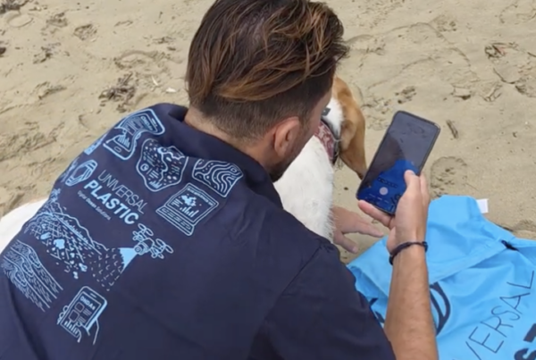
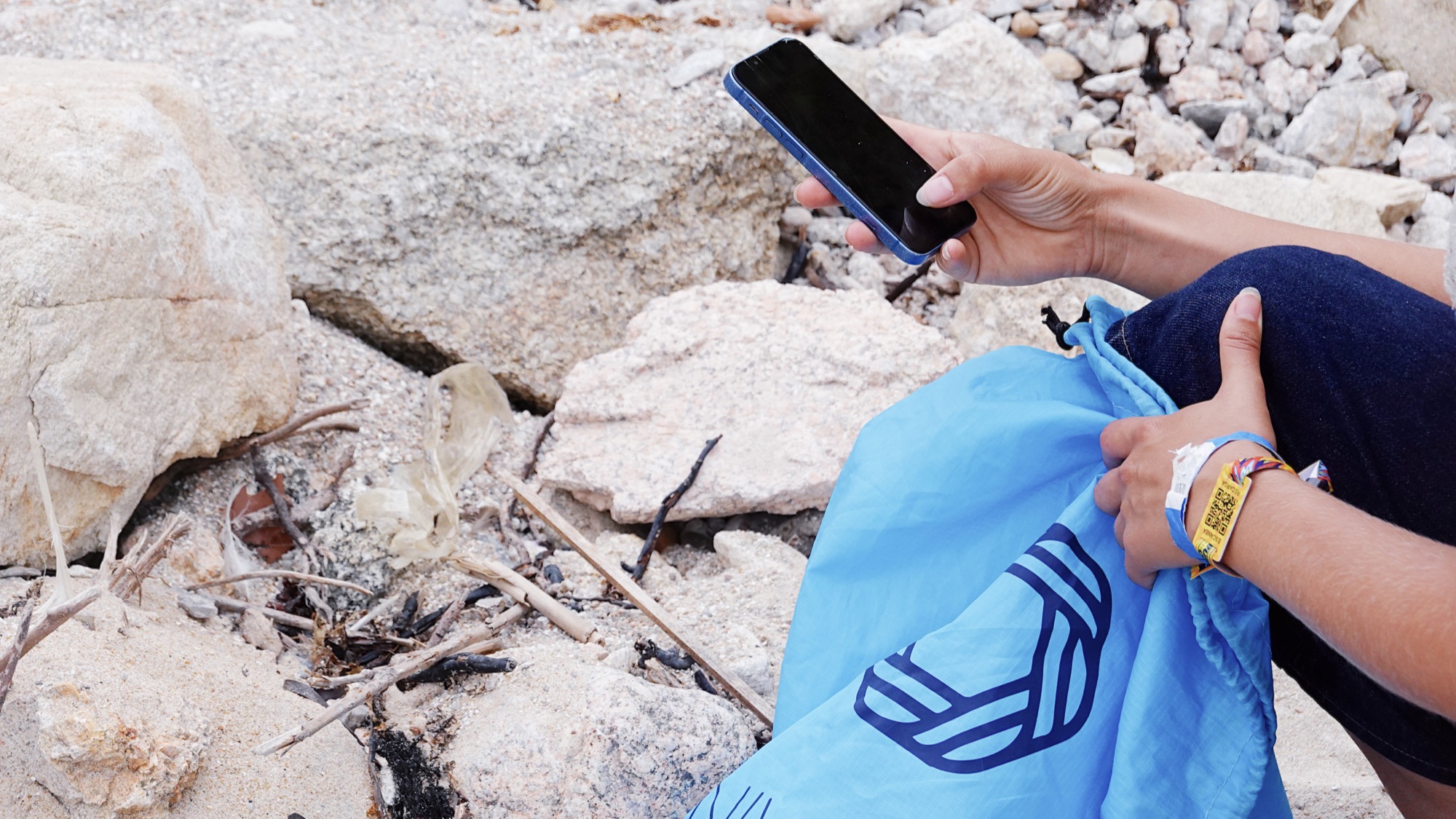
A volunteer uses the app to record a piece of plastic waste on the beach.
From isolated data to shared knowledge
One of the challenges of coastal science is that information arrives fragmented. A single data point describes an episode; many comparable data points begin to describe a pattern. That is why work on protocols, metadata and common formats matters as much as collection in the field.
Being part of a network like GlobalCoast opens the door to that dialogue: sharing methods with specialists in operational oceanography, observatories and institutions, and exploring how plastic pollution records can be useful alongside other kinds of coastal data. It fits with our work on our data space, with ODIS, with our recent EMODnet Associated Partner status and with our UN Ocean Decade project. This is a line of work under exploration, not a technical integration already carried out.

Volunteers with their phones and Universal Plastic bags during a collection.
A starting point, not a finish line
Appearing on the GlobalCoast map places our proposal within an international coastal observation network. It does not imply funding, a signed agreement, a pilot already under way or scientific results obtained. We read it for what it is: an invitation to keep working and to explain why connecting plastic data with coastal knowledge benefits both sides.
UNESCO-IOC and the Ocean Decade programmes are the context of the network; mentioning them does not mean an endorsement of our products or results.
You can explore the updated map and find site PS-018b-06 on the GlobalCoast page.
How do we measure the impact of removing plastic from the coast?
Discover how we are working to build a fuller picture of the impact of plastic pollution on biodiversity, ecosystems and the blue economy.