Efficient Coastline
Aerial and Satellite Assessment for More Efficient Beach Cleanups
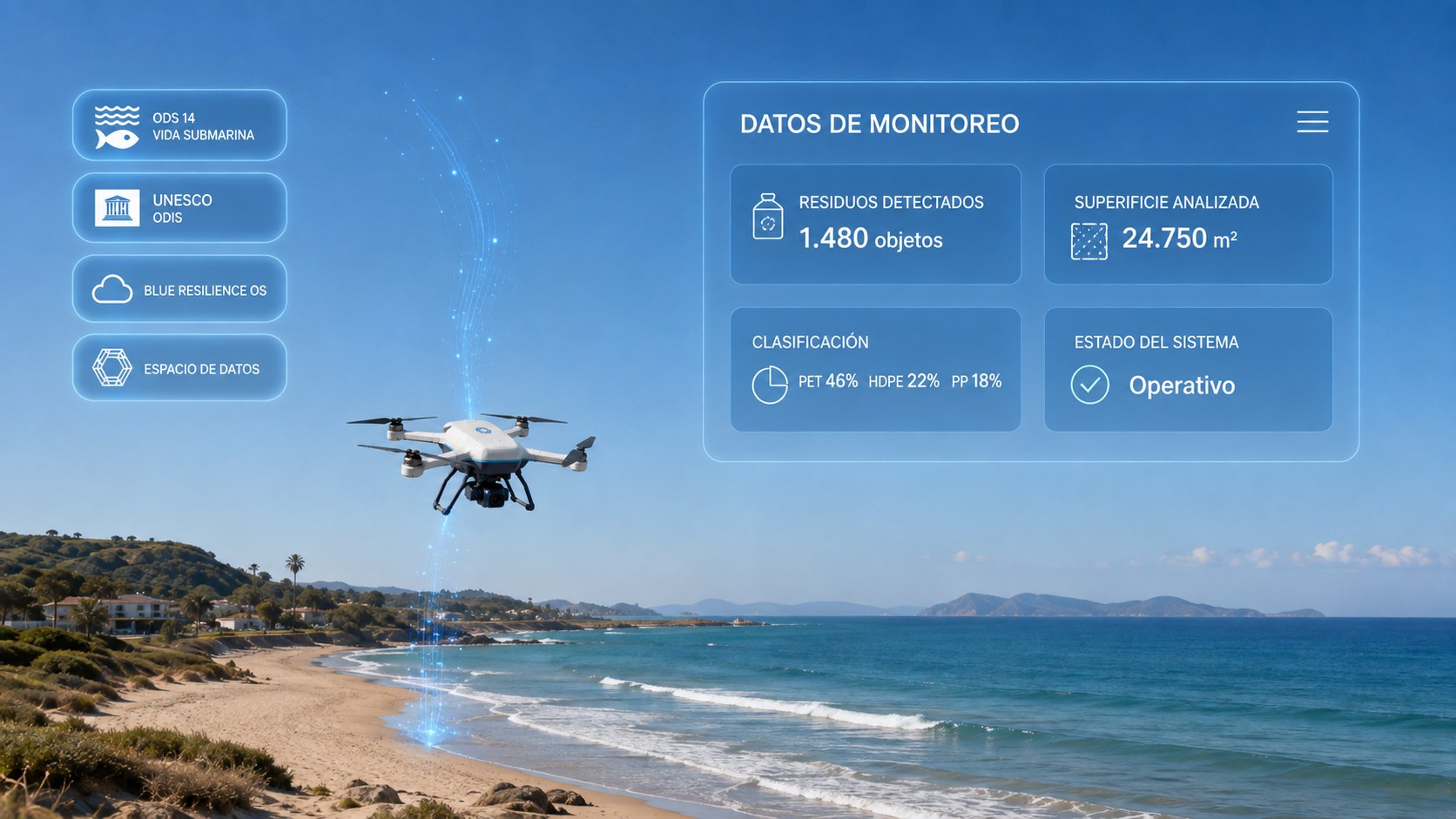
Observing before deploying resources allows us to focus cleanup efforts where they matter most.
Aerial and Satellite Assessment to Optimise Coastal Cleanups
- Aerial analysis covering up to 5 km of coastline or 3 beaches.
- Identification of plastics, seaweed, wood and other visible accumulations.
- European spatial data and data fusion where applicable.
- Hotspot maps and priority areas.
- Results displayed in the Blue Resilience Dashboard.
- Operational cleanup plan and cost reduction.
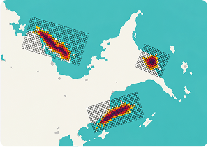
Detect Accumulation Zones
We identify the areas with the highest concentration of waste to pinpoint priority locations for action.
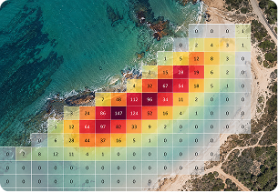
Verify Counts
We cross-check detected densities and patterns to validate how waste is distributed across the territory.
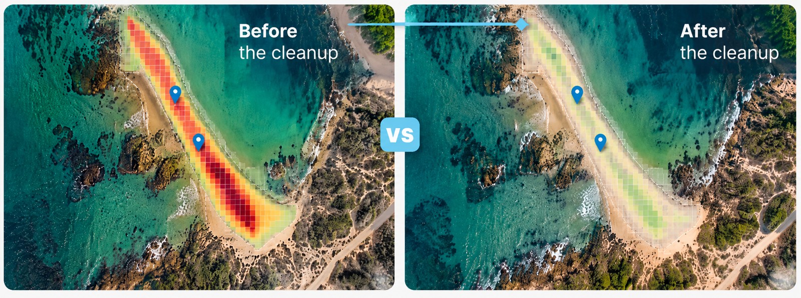
Analyse the Evolution
We compare data over time to measure change, assess results and identify new accumulation zones.
From Reactive Cleanup to Data-Driven Action
We move from manual inspections and reactive decisions to coastal management based on objective evidence.
Before
Reactive Cleanup
No prioritisation.
Data
Aerial and Satellite Observation
Drone, satellite and other sources to understand the territory.
Priority
Hotspot Maps
Objective priority for each stretch of coast.
Action
Targeted Cleanup
Resources where they matter most.
More efficient, traceable and data‑driven coastal management.
Next step
Shall We Prioritise Your Coastline with Data?
We combine aerial and satellite observation to identify priority areas and direct resources where they matter most.